 Land Surface Temperature - Realtime
Real-time Land Surface Temperature
Description:
Touch the ground and you will feel the land surface temperature. Satellites can also measure this temperature from space, and that data is plotted here. Though related, land surface temperature is not the same as air temperature since the land surface heats and cools more quickly than air. Land surface temperature is also greatly influence by land use and cover: bare, un-vegetated lands such as deserts are able to heat up to much greater temperatures than areas at the same latitude that are forested. This data is extensively used for modeling weather and climate, along with applications such as agriculture.
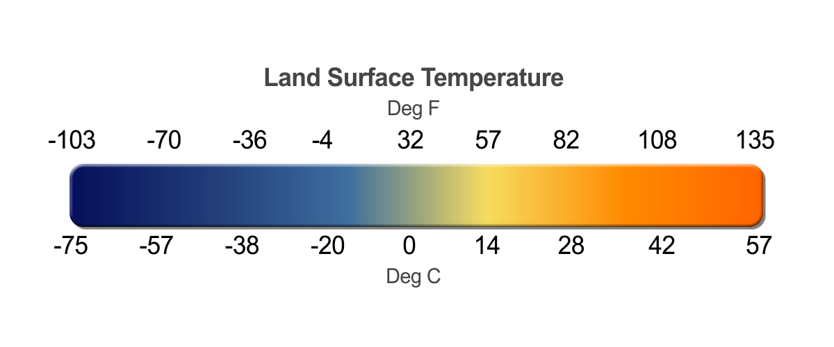
The data plots shown here are generated by averaging all of the data collected by the NOAA AMSU and DMSP SSM/I microwave sensors from 4 different polar-orbiting satellites over a 24 hour period. Blue areas are cool and orange areas are warm.
Notable Features:
- Areas of higher altitude tend to be cooler than surrounding areas
- Land surface temperature is strongly influenced by land use and cover
Data Category
Major: Land, Real-time
Keywords:
Land, surface temperatures, seasons
| Data Set Name | Land Surface Temperature - Realtime |
| Data Set Directory Name | land_temp |
| Data Set Source | NOAA |
| Data Set Developer | NOAA Visualization Lab |
| Visualization Developer | NOAA Visualization Lab |
| Audio | No |
| Download | FTP |
| Date Added | March 2010 |